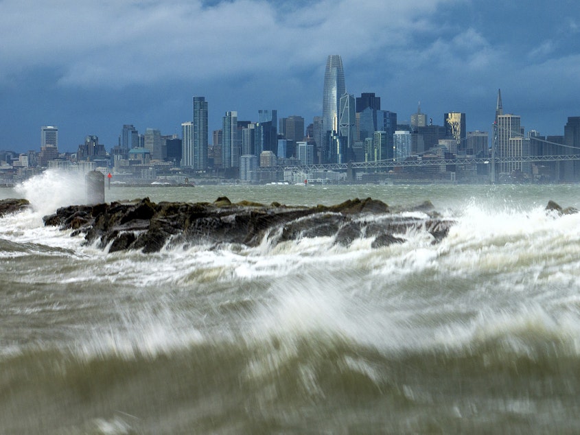
A second wave of storms is slamming parts of California. How bad will it get?

A major rain and wind storm has begun to smash into the Southern California coast today, just days after a separate storm drenched the area.
But meteorologists and local officials are warning residents in Los Angeles and beyond to prepare for potentially life-threatening conditions this time.
"All systems are go for one of the most dramatic weather days in recent memory," the National Weather Service said Sunday morning.
The storm — known as an atmospheric river — could drop as much as eight inches of rain along the coast and in valley areas and more than a foot in the foothills and mountains, the NWS predicted. Rain could fall at a rate of more than one inch per hour in some areas.
Heavy showers and thunderstorms combined with strong winds also upped the chances of potentially dangerous flash flooding and rough surf, with flood watches in effect across the area.
Sponsored
"This is an all-hands-on-deck effort," said Los Angeles Mayor Karen Bass. "There are indications that the coming storm could be as strong as Tropical Storm Hillary was in August."
Evacuation orders were in effect Sunday for parts of Los Angeles, Ventura and Santa Barbara Counties, LAist reported.
Several school districts have already canceled Monday classes or warned parents they might, and NASCAR moved the Busch Light Clash race one day earlier to Saturday evening to avoid the wet and windy forecast.
California's Office of Emergency Services said it had prepositioned fire engines, personnel and other resources in multiple counties to help respond to the storm when it arrived.
San Diego County was giving people sandbags and sand that could be used to protect against flooding, and state officials were urging residents to travel only if absolutely necessary.
Sponsored
Atmospheric rivers are narrow bands that transport water vapor from the tropics to the West Coast of the U.S. When they are especially windy and filled with large amounts of water vapor, atmospheric rivers can unleash extreme weather.
On Sunday, the powerful storm converging on Southern California was expected to drop four to eight inches of rain in lower-lying areas, with eight to 14 inches of rain in the foothills and mountains. Rain began Sunday morning and was expected to intensify as the day wore on.
Officials in Santa Barbara said early Sunday that heavy rainfall was on the way but strong winds had already arrived. The NWS predicted wind gusts upwards of 60-70 miles per hour, which could topple trees and cause power outages.
Potentially life-threatening flooding would likely also be widespread, officials warned. Coastal flooding was possible, and flash flooding was predicted for parts of the San Joaquin and Sacramento Valleys on Sunday as well as in upslope portions of the Sierra Nevada.
Snow could also begin in some areas late Monday, and the rain and strong winds brought by the storm were expected to last through Tuesday night for many areas. [Copyright 2024 NPR]

