High temps approach 90 after record-setting weekend in Western Washington

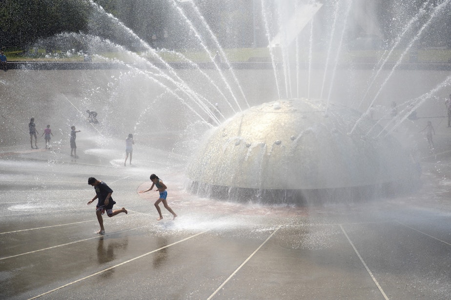
A weekend heatwave that broke records across Western Washington Sunday is expected to continue Monday, with temperatures in some locations expected to top 90 degrees.
The National Weather Service issued a heat advisory until 10 p.m. Monday for counties including King, Pierce, Snohomish, Whatcom, and Thurston.
Hot temperatures Sunday set a record at Sea-Tac Airport at 90 degrees, breaking the previous record of 87 set in 2015 (and 1948). Bellingham tied a previous record topping off at 82 degrees.
The nighttime lows were also not helping to cool things off. Sea-Tac saw a record high minimum temperature of 61 degrees Sunday night.
National Weather Service Meteorologist Samantha Borth said temperatures could still reach the 80s in the Seattle area and south toward Olympia on Tuesday, but temperatures will become more moderate later in the week.
Sponsored
"By Wednesday, we're going to start to really cool down and get into the 70s," she said.
Borth said Monday's temperatures in the Cascade foothills and in parts of South Sound could top 90 degrees.
Libraries in the Seattle area are doubling as cooling centers Monday. You can call 211 to find a cooling shelter near you.


